
Gardner Neighbors Block Sources
The public record describes a Gardner block in layers. AIMS is best for parcel shapes, situs fields, owners, and plat context. Deeds confirm recorded transfers. VoterView works only when a name and date of birth are already known, so it is not a street roster. Library directories can rebuild a past block by edition. Association sites explain shared rules or public contacts, but not all nearby households.
| Source | Block evidence | Access route and limit |
|---|---|---|
| AIMS parcel map | Adjacent polygons, situs, ownership fields, plat, districts, and map setting | Free manual map clicks; not a household roster |
| AIMS parcel card and plat | Lot, block, subdivision, legal description, unit count, and dated fields | Public and subscriber mix; verify the live card |
| Register deed index | Recorded transfers affecting each nearby parcel | Legacy index described as 1920-present; older office and archive routes |
| VoterView or SOS file | Registration and activity categories within strict search and request rules | No street field in VoterView; protected addresses and use limits apply |
| Library directories and census | Dated households on an older block | In-library or database access; no current completeness |
| HOA official sites | Public documents, contacts, notices, and development context | No verified public member roster |
Always state whether a name is an owner, a voter match, a dated directory entry, or a public association contact. An owner may live elsewhere, and a person who lives at the property may never appear on its card. The source label prevents a property inventory from becoming a guessed list of residents.
Fields for Gardner Block Records
The Johnson County AIMS map supports address, owner, parcel, plat, subdivision, neighborhood, school, ZIP, intersection, city, TRS, map number, and legal-description searches. For each parcel around a Gardner home, capture only fields needed to understand the block. That usually means parcel ID, situs, owner and mailing fields, legal or plat reference, zoning, year built, and visible district or flood layers.
| Field | Why record it |
|---|---|
| Tax Property ID | Keeps two similar street addresses apart |
| Situs | Identifies the mapped physical location |
| Owner and mailing fields | Shows the tax record while preserving the occupancy distinction |
| Legal description and plat | Separates homesites, units, roads, outlots, and common tracts |
| Map layers | Adds road, flood, school, district, and subdivision context |
AIMS says mapped parcels are a model and its scanned plats are not certified surveys. A shared polygon line may look exact on screen, but it is not proof of a legal boundary.
Open the AIMS parcel viewer before working outward.
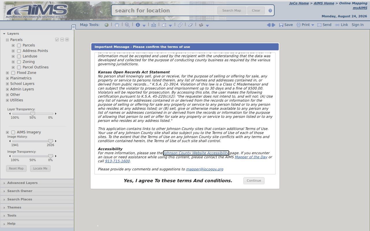
The capture shows the official map entry point used to retain one Gardner map extent while inspecting the nearby parcels one by one.
Map Gardner Neighbors Outward
AIMS does not expose a stable one-click report for every adjacent owner. The reproducible method is manual. Search the target Gardner address, click its polygon, keep the same map extent, and inspect the parcels that share a boundary or lie across the road. Save the map date or screenshot with the parcel notes.
- Locate the exact address and confirm its situs, parcel ID, and subdivision.
- Click each polygon that touches it, then those directly across the street.
- Record the parcel ID, situs, ownership fields, legal description, plat, and map type.
- Label roads, drainage areas, common land, outlots, and utility tracts for what they are.
- Compare a mailing address with the situs, but never call that comparison proof of occupancy.
Condominium units, a shared drive, or a common tract can make one visible shape misleading. Use lot/block and book/page data before counting neighboring homes. For the longer chain along an entire named road, switch to the Gardner street directory workflow.
Map rule. A parcel owner is a recorded property contact, not a public list of every person living beside the address.
Gardner Plats Shape the Block
Subdivision plats keep the block inventory from overcounting homes. The AIMS plat search accepts plat name, city, recorded date, book/page, and AIMS map. A legal description can mark a lot, block, road right-of-way, common tract, or separately owned outlot. Those labels matter more than the apparent size of a map polygon.
Gardner parcel examples and official map leads include Sunset Ridge III, Fairfield, Parma, Prairie Trace Meadows or New Trails North, Gardner Lake, and development near the US-56 and rail corridor. A subdivision label does not by itself prove an HOA exists. It also does not disclose association membership. Compare the recorded plat with current parcel geometry and public association documents before assigning a block to a group.
Note: Use a certified survey or recorded instrument for a boundary dispute; the public AIMS display is only a research map.
Gardner Voter Block Limits
Kansas VoterView is a name-and-date search, not a block lookup. Its required inputs are first name, last name, and date of birth. No street, county, or voter ID field appears in the basic form. A match may show registration address, party association, mail-ballot status, polling place, and voting activity. It does not show ballot choices, and it does not prove that a person still lives at the address today.
The full voter file follows a separate, certified request through the Kansas Secretary of State. The form offers district, party, advance-voting, inactive, exclusion, and total choices. It describes a quarterly database, requires payment and use certification, and applies K.S.A. 25-2320a restrictions. This is not a free, live block roster.
Safe at Home substitute addresses and other protected-voter rules set a hard stop. Never use parcel adjacency, polling places, court filings, or old directories to try to uncover a protected address. For registration help, the Johnson County Election Office is the county route.
Gardner Association Contacts
Gardner does not have a verified citywide public neighborhood-association registry in the reviewed official sources. Three established area sites still provide useful community context. Their public documents can explain development rules, common features, meetings, and contacts. None was found to publish a complete member directory.
Cottage Park Villas
Official HOA site with declarations, public notices, financial or insurance materials, and a contact form. It reports 37 buildings and 173 units.
Mulberry Hill Estates
Association overview for an unincorporated Johnson County community near 151st Street and Gardner Road, with estate-lot and common-entrance context.
Genesis Creek
Public updates concerning the HOA and nearby road or planning matters, without a public household roster.
The Cottage Park Villas site is also one of the captured Gardner neighbor sources.
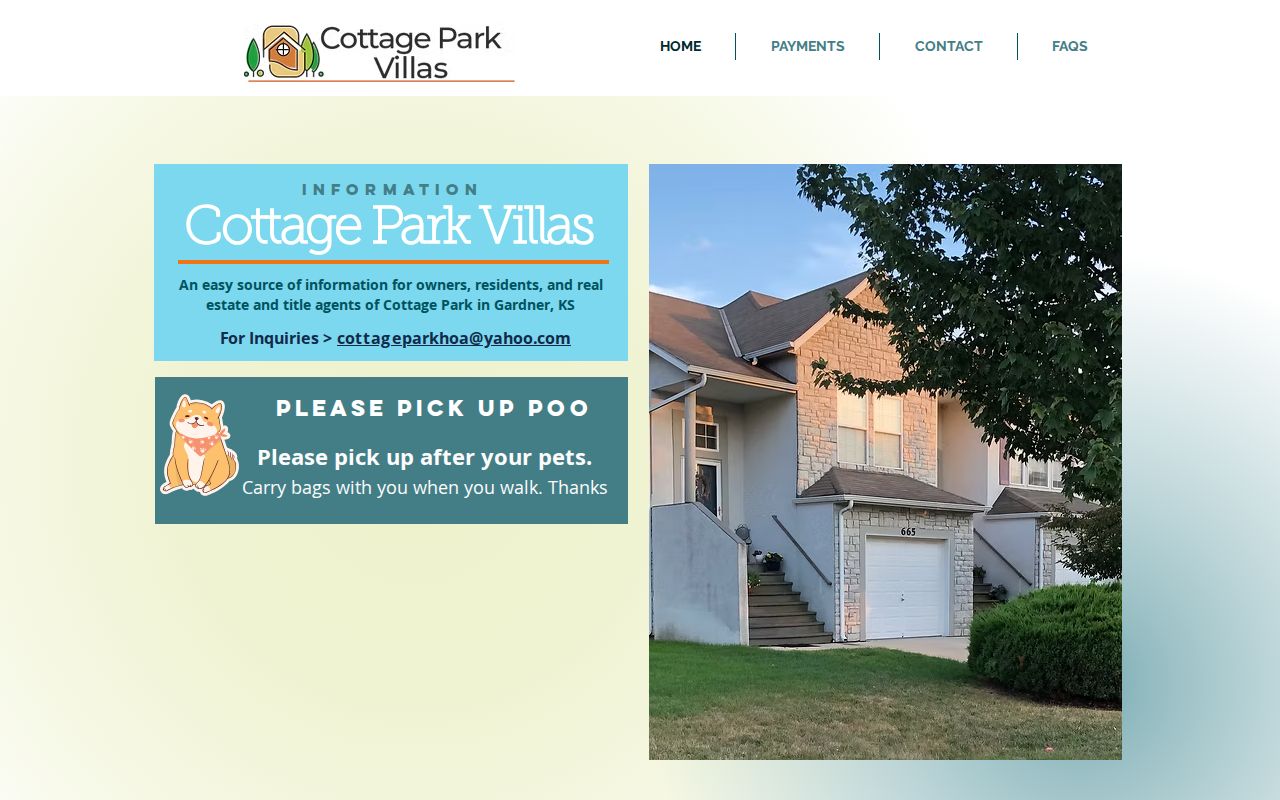
The image shows association-level access. Use those public pages for governance and development facts, not as a basis for guessing who belongs to the group.
Past Gardner Neighbors by Date
An older block needs a dated source. The Johnson County Library catalog confirms an R.L. Polk directory including Gardner from 1961-1984, while exact reverse-directory years remain unverified. A library edition may connect an address to a printed household, spouse notation, occupation, or owner mark. Census schedules give a different snapshot and should be cited by enumeration date.
JoCoHistory, yearbooks, Gardner newspapers, obituary cards from 1977-2000, and the Gardner Historical Museum can add names and events. Gardner Gazette is indicated for 1899-1942. Maps, rail references, cemetery lots, and old roads can anchor an address when a street number changed. Each household clue needs its edition, date, page, or archival citation.
The Gardner Township Cemetery adds place and family history, but its early records were lost in a fire. That Profile 2 myth-busting point matters: an absent online burial result does not prove an early resident was never buried there.
Gardner Neighbor Source Check
Commercial neighbor tools may combine data-broker files, marketing lists, and public records without showing when or where a fact arose. Official records take longer, but they let a reader distinguish a parcel owner from a current occupant and a current map from an old directory entry.
| Method | Strength | Main limit |
|---|---|---|
| Official parcel, plat, and deed sources | Dated, repeatable, and tied to a legal parcel or instrument | Ownership does not establish every person at home |
| Library and archive sources | Edition or event evidence for a historic Gardner block | Coverage has gaps and is not current |
| Commercial category | May collect many leads in one result | Stale addresses, same-name errors, and unclear provenance |
Record the keeper, URL, query date, and exact field used. If a source cannot show its date or relationship to the address, treat it as a lead only.
Gardner Neighbor Privacy Limits
Public parcel cards do not list all people in a home. Renters, relatives, and other non-owner household members may be absent. Utility customer data, delivery details, private contact forms, DMV addresses, and unfiled association membership stay outside the parcel method. Sealed or juvenile court records and restricted vital records do not become public because an address is known.
Kansas Open Records Act access still includes exemptions, redactions, fees, and use rules. K.S.A. 45-230 limits prohibited use of public name or address lists. Voter statutes impose their own controls, and the federal DPPA restricts motor-vehicle information. Ask the custodian for a narrow, lawful record rather than trying to combine private layers.
Lawful use. Gardner neighbor research can support civic curiosity and personal safety. Stop if the work could expose, watch, harass, or intimidate anyone.
A practical stop rule is simple: once the block's public parcel and association context answers the question, do not chase private people behind it.