
Gardner ZIP Directory Coverage
Official USPS and parcel evidence confirms 66030 as the Gardner city mailing ZIP in this research. The Gardner Post Office listing carries 66030-9998, and an inspected AIMS parcel card for a Gardner situs also shows 66030. The evidence does not support turning every nearby Johnson County code into a Gardner code. Postal assignment must be checked at the address level.
| ZIP | Area supported by research | Post office | Key note |
|---|---|---|---|
| 66030 | Confirmed Gardner mailing ZIP | Gardner Post Office | Postal coverage can cross a city line |
| 66031 | Appears in USPS processing context with 66030 | Not confirmed as a Gardner delivery ZIP | Check the complete address |
| 66021 | Nearby regional code | Not established here as Gardner | Do not infer from proximity |
| 66061 | Nearby Olathe-area code | Not established here as Gardner | County location is not city coverage |
| 66083 | Nearby regional code | Not established here as Gardner | Use USPS address verification |
The table records what the reviewed official sources can support, including the gaps. It does not claim a PO-box-only or unique institutional ZIP because none was verified for Gardner. This measured scope makes the ZIP code directory useful without turning a postal hint into a false city boundary.
Verify a Gardner ZIP Address
The USPS ZIP Code Lookup accepts a complete address or a city and state. Use the full street address for a specific Gardner parcel. The broad city-and-state mode can supply a postal clue, but USPS warns that a returned ZIP does not prove a person or company is at that address.
- Enter the full street number, street name, city, and state in the address mode.
- Save the returned postal city and ZIP with the query date.
- Search the same address in AIMS and compare the situs, tax mailing, city, and parcel fields.
- Check Gardner's city maps when municipal jurisdiction matters, then keep each geography result under its own label.
The official postal screen used by the Gardner ZIP code directory is shown at the USPS lookup source:
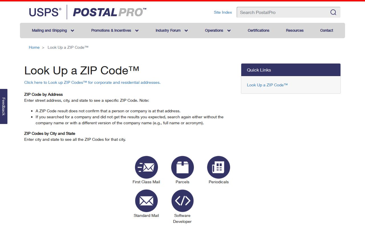
The screenshot identifies the proper starting tool. The answer still needs a parcel and city-limit check when the question goes beyond mail delivery.
Gardner ZIP 66031 Needs Proof
USPS Labeling List material associates 66031 with Gardner KS 66030 in a mail-processing context. That is a useful clue, but it does not establish 66031 as a Gardner city delivery ZIP. The research found no official address-level evidence broad enough to list it as a second Gardner code. This is a local postal quirk, not a blank to fill with an assumption.
When 66031 appears on a copied form, old database, or regional list, return to the complete address. Run USPS, then AIMS, then the Gardner municipal map. If the sources disagree, state which system produced each value. Do not collapse a processing label, mailing city, parcel situs, and incorporated city into one answer.
ZIP trap. A processing association between 66031 and 66030 is not proof of a Gardner delivery address or city-limit location.
Search Gardner Parcels by ZIP
Johnson County AIMS accepts ZIP Code among its property-search modes. It can return parcel cards with situs, owner and mailing, property ID, legal description, subdivision, tax, school, and district fields. That makes it the strongest official ZIP-capable record source in the research. It does not create a household directory, and a ZIP result set is not a count of Gardner residents.
| AIMS search field | Input | What it contributes |
|---|---|---|
| ZIP Code | Postal code | Returns matching parcel cards, subject to current data |
| Address | Street address | Narrows a broad ZIP result to one situs |
| Owner name | Person or business | Shows ownership and mailing fields, not current occupancy |
| City name | Municipal label | Useful cross-check, not a certified boundary ruling |
| Plat or subdivision | Name or ID | Connects a parcel to recorded development geography |
The inspected Sunset Ridge III card illustrates the difference. It shows City Gardner and ZIP 66030 along with parcel, plat, schools, districts, flood panel, zoning, and other map fields. Its owner or mailing value did not render in the research capture, so no name is asserted. That restraint matters in any Gardner ZIP code search.
Find Gardner Residents by ZIP
A ZIP is best used as a filter before a name or address search. Start with the postal answer, then move through parcel and public-record sources that describe their own fields. VoterView does not offer a ZIP field on its basic registration form. The Register of Deeds index is keyed to grantor, grantee, and document information, not postal code. Each portal needs a different bridge.
- Verify the full address with USPS and retain the exact returned city and ZIP.
- Run 66030 in AIMS, then narrow by street, owner, parcel, subdivision, or city.
- Use a known name and date of birth in VoterView rather than expecting a ZIP roster.
- Carry an owner name or document clue to the deed index when ownership history matters.
- Once the result reaches a road or parcel, use the Gardner street directory for the street-level workflow.
This sequence keeps the Gardner ZIP code directory focused on postal granularity. It also prevents a broad parcel result from being presented as a list of occupants.
Gardner Postal and Parcel Fields
One address can carry several labels because each agency maintains a different system. USPS standardizes delivery. AIMS records the physical situs and tax mailing destination. The city maintains its municipal boundary and service maps. A deed uses a legal description tied to land, often through lot, block, plat, section, township, or range. None is a substitute for the others.
| Field | Keeper | Question answered | Common mistake |
|---|---|---|---|
| Delivery city and ZIP | USPS | How mail is routed | Treating it as city-limit proof |
| Situs address | AIMS/Appraiser | Where the parcel is physically labeled | Assuming it is the owner's home |
| Tax mailing | Appraiser/Treasurer | Where notices are sent | Equating mail recipient with occupant |
| Municipal boundary | Gardner maps | Whether land lies within city jurisdiction | Using ZIP shape instead |
| Legal description | Recorded deed or plat | Which land the instrument describes | Replacing it with a street label |
At Gardner's edge, postal city, municipal boundary, county parcel, and legal description can disagree without any source being defective. Preserve all four labels and the query date.
Historical Gardner ZIP Clues
Older Gardner research may predate the modern ZIP or street label. A pre-1920 tract can appear under its legal description rather than a street number. A November 1925 Sanborn reference can anchor a developed area, and the 1961-1984 Polk directory can place a household on a numbered street. AIMS right-of-way, plat, and historic property materials help translate those clues into current parcel geography.
Keep old highway terms, street variants, railroad references, plat names, and book/page citations with the old source. US-56 and Old Highway 56, the BNSF corridor, Gardner Lake, and South Poplar near the cemetery are useful physical anchors. Do not backfill 66030 into a source created before that postal code was in use unless an official later record makes the link.
Gardner ZIP Cemetery Cross-Check
A burial record can supply a place and date when the postal trail is weak. The Gardner Township Cemetery offers an online burial search, maps, history, and contact information. It sits near South Poplar and the BNSF tracks, giving old news reports a physical anchor. Early cemetery records were lost in a fire, so an absent search result is not proof that no burial occurred.
The official cemetery screen adds a local research route to the Gardner ZIP code directory:
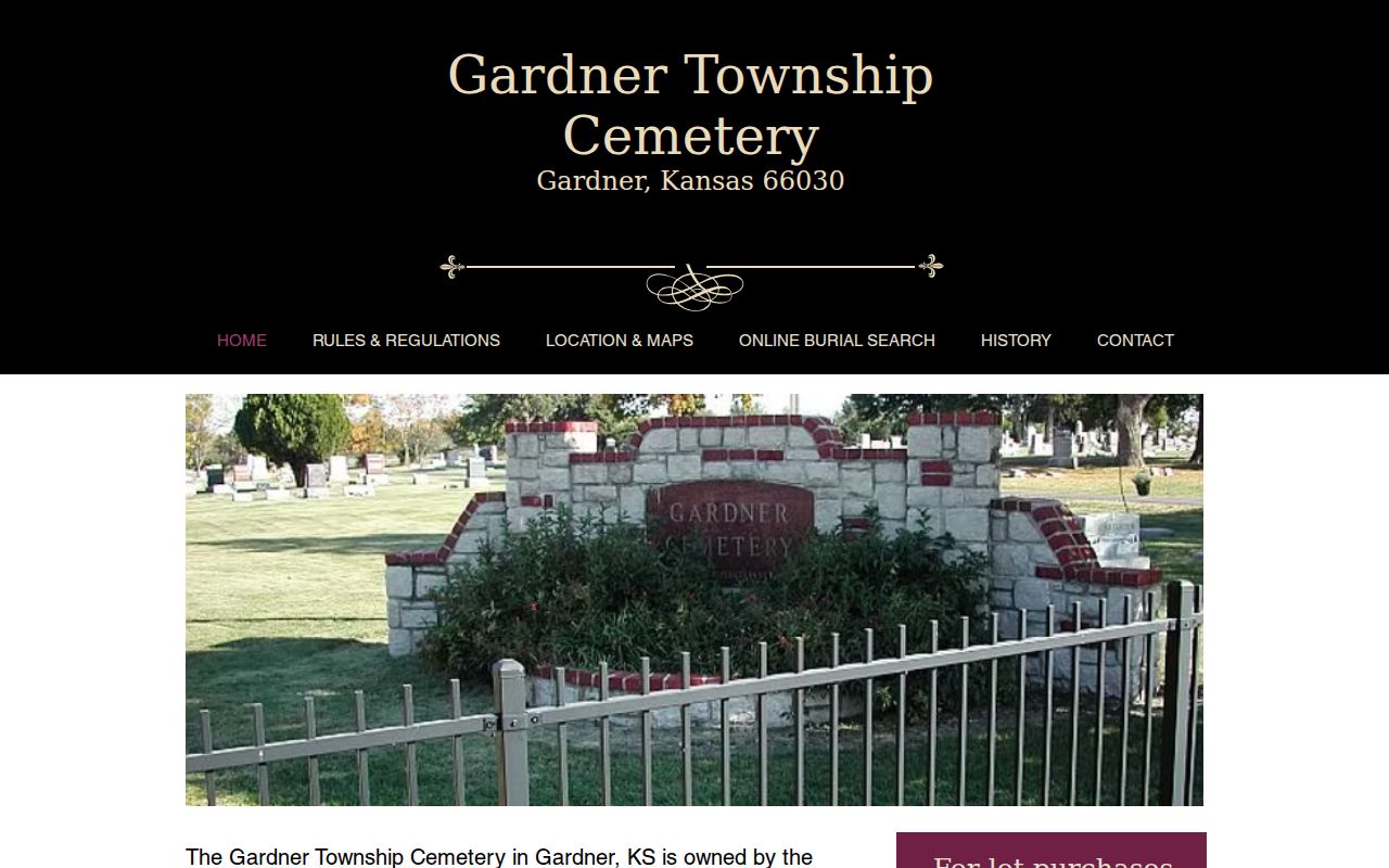
Pair the burial clue with maps, obituaries, deeds, and parcel evidence. The cemetery is not a current resident list or a postal authority.
Gardner ZIP and City Limits
Gardner had 23,287 residents and about 10.3 square miles of land in the 2020 Census profile, but those city figures are not ZIP totals. A postal area may include unincorporated county parcels, while a city boundary follows annexation and municipal law. Census ZCTAs are statistical areas and must be named as such rather than passed off as USPS delivery zones.
Use the Gardner city maps hub for municipal, zoning, utility, traffic, trail, and service-area context. Use the Johnson County ZIP map as a broad geography reference, and let USPS control the current delivery answer for a complete address. That three-source comparison is the safe ending to a Gardner ZIP code directory search.
- ZIP and ZIP+4
- A ZIP covers a delivery area; ZIP+4 narrows mail routing to a smaller segment.
- PO-box ZIP
- A code assigned mainly or solely to post-office boxes. None was verified for Gardner here.
- Unique ZIP
- A code assigned to one high-volume organization. None was verified for Gardner here.
- Carrier route
- A postal delivery path that may cross other civic or statistical lines.