
Search a Gardner Street
A Gardner street directory search should distinguish a property owner from a resident. Johnson County AIMS ties a physical site, called the situs, to a parcel and its assessment fields. A deed then identifies parties to a recorded transfer. Neither source proves that every named owner lives there. Directory editions and properly obtained election data can add dated occupancy clues, while city permit records explain changes at the site.
- Enter the complete address in Johnson County AIMS Online Mapping. Save the Tax Property ID, situs, subdivision, plat, and legal description.
- Keep the same map extent and click adjoining parcels. This turns one result into a careful walk along the Gardner street segment.
- Open the plat and note its book and page. The plat connects street numbers to lots, blocks, replats, and subdivision names.
- Use the current owner as a grantee in the Johnson County land-record index, then follow each seller backward.
- Ask the library about Gardner-inclusive and address-first directories. Use election data only through the lawful request and lookup routes.
Save the date of every search. Parcel cards change, deeds record events, and directory volumes describe one edition period. A sound street directory keeps those dates beside the names.
Gardner AIMS Street Directory Fields
AIMS offers more than an address box. Its public search can accept an owner or business name, property ID, plat, subdivision, neighborhood, school, township-range-section reference, map number, ZIP code, street intersection, city, and abbreviated legal description. Type-ahead is documented for the first four search modes after three characters. Those choices help when a Gardner address was copied with a spelling error or when an old source names only a subdivision.
| Search field | Useful input | Street-directory value |
|---|---|---|
| Address | House number and street | Finds the current situs parcel |
| Property ID | Tax Property ID or parcel key | Returns to the same land despite address changes |
| Plat or subdivision | Name or plat identifier | Groups lots in one recorded development |
| Street intersection | Two road names | Centers the map on a Gardner segment |
| Legal or TRS | Description or land-grid reference | Bridges rural and older tracts |
| ZIP or city | 66030 or Gardner | Narrows results but does not prove city limits |
The identify window may expose Information, Photos, Documents, Plat, Permits, Utilities, and Location tabs. Treat a map or parcel card as a research lead, not a certified survey or title opinion.
A Gardner Parcel Snapshot
The researched AIMS sample at 410 W Meadowlark St shows how much local context can sit behind one street address. Its card lists a tax property ID, class, year built, zoning, neighborhood code, map and land-grid references, taxing districts, schools, flood panel, subdivision, plat, book/page, recording year, unit count, and abbreviated legal description. The owner field exists in the schema, though the captured text did not safely reproduce its value.
That distinction matters. A visible field is not permission to invent its content. For another Gardner parcel, record only what the live official card displays and keep owner mailing lines separate from situs. The mailing address is where assessment correspondence goes. It can differ from the land itself.
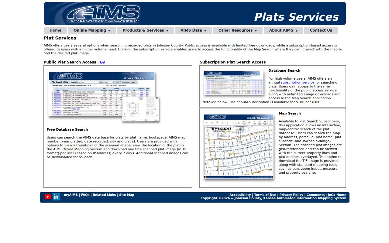
See the official Johnson County plat search before using its controls.
Gardner Street Directory Records
Several custodians hold different parts of a Gardner street directory. The strongest result comes from joining them by parcel ID, legal description, party name, and date. Access also differs. AIMS is a public map, the recorder has an online index and free office terminal, and Gardner permit material may require a narrow records request.
| Address source | Keeper | Evidence returned | Access path |
|---|---|---|---|
| Parcel and tax record | Johnson County Appraiser/AIMS | Situs, owner fields, mailing fields, parcel, legal and district context | Public map and myAIMS |
| Plat map | Johnson County AIMS | Subdivision, lot/block, replat, book/page | Online plat search and map |
| Deed and lien index | Register of Deeds | Grantor, grantee, instrument, date, legal description | Online index, office terminal, email request |
| Permit or inspection file | Gardner Community Development | Project date and releasable permit fields | Department or targeted KORA request |
| Election record | Johnson County Election Office | Registration evidence within legal limits | VoterView or regulated data request |
| Historic directory | Johnson County Library | Dated name and street listing when an edition covers Gardner | In-library research and staff inquiry |
No one row is a live household roster. Use the table as an evidence chain, and mark each source by what it actually confirms.
Walk Gardner Parcels on AIMS
Keep the AIMS map at the same zoom while moving down a Gardner street. Click each parcel boundary, then save the parcel key and situs before moving to the next lot. The available layers include land records, transportation, recreation, flood, planimetrics, and schools. This method shows when a road crosses a subdivision, taxing unit, flood area, or school boundary.
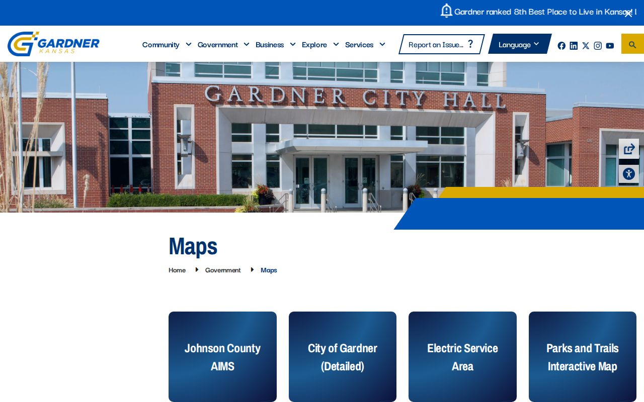
The Gardner city maps hub adds official zoning, utility, and city map routes. It helps separate county parcel geography from city service maps.
At the city edge, never infer municipal status from a Gardner mailing label alone. A parcel can cross postal, subdivision, township, and city-limit systems without changing its recorded legal description.
Local development names can also sharpen the map search. The researched Gardner examples include Sunset Ridge III and Fairfield, with additional parcel or map leads around Parma, Gardner Lake, Prairie Trace Meadows, New Trails North, and the US-56 rail corridor. A subdivision label is geographic evidence, not proof of an association or a public member list. Save the exact plat name shown by AIMS, because a similar marketing name may point to a different recorded tract.
Deeds Along Gardner Streets
The Register of Deeds index is organized around parties and documents, not a ready-made list of every house on a road. Begin with the current AIMS owner. Search that person or entity as the buyer, called the grantee. Open the newest relevant deed, capture the seller, called the grantor, and then search that seller as an earlier grantee. Trust names, initials, estates, and corporate owners can split the chain.
- Parcel
- A mapped unit of land with a county identifier. It is not the same as a household.
- Situs address
- The physical location assigned to the parcel, kept apart from the owner's mailing address.
- Plat
- A recorded map that divides land into lots, blocks, streets, or tracts.
- Criss-cross directory
- An address-first directory arranged by street rather than by surname.
The online land index is described as reaching 1920 to the present, while the current document notice identifies scanned documents from 1920 through 1987 and plats from 1866 onward. The free office terminal, email requests, County Archives, and Kansas Historical Society provide fallback paths. Copies cost $0.25 per page and certification costs $13.
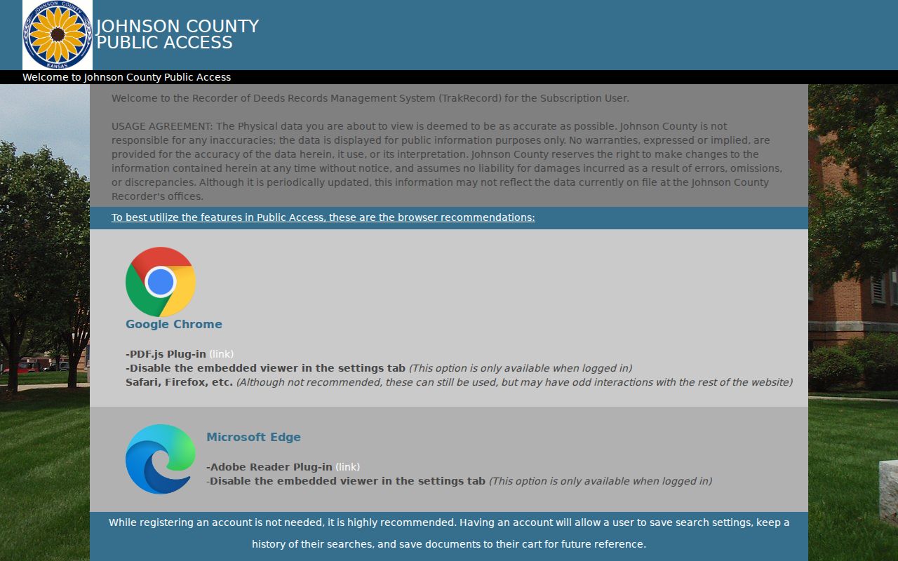
Inspect the official land-record access screen before following the chain.
Gardner Permits By Street
Gardner publishes permit forms and an inspection contact route, but no public citywide searchable permit or code-case index was verified. The practical fallback is a narrow request to Gardner Building Inspections or the City Clerk. Give the full address, date range, permit type, and preferred format. Ask for releasable permit, inspection, or project fields rather than a broad list of people.
Permit files explain work at a site. They may name an applicant or contractor if releasable, but they do not establish who occupies the home. Match the permit date to AIMS and deed dates before drawing a conclusion.
Note: A targeted address and date range gives Gardner staff a far clearer KORA request than a request for every record on a street.
Gardner Voter Street Limits
Kansas VoterView is designed for an individual registration and polling-place check. It is not a block roster. The separate statewide voter file request asks for requester details, selection criteria, payment, and a use certification. Kansas law restricts commercial use, and protected-address rules remain in force.
A match should be treated as dated election evidence, not proof that every adult or child at a Gardner address appears. Safe at Home participants and other protected residents require special care. Never fill a gap by guessing who shares a home.
Note: A tax owner, voter match, or mailing address can point to Gardner without proving that the named person lives at the situs today.
Older Gardner Street Clues
The Johnson County Library catalog verifies an R.L. Polk Olathe and Johnson County directory including Gardner for 1961 through 1984. Exact reverse or criss-cross years were not verified. Ask the Genealogy Desk by publisher, year, street spelling, and address-first format. The full collection belongs on the Gardner city directory collections page; here, its value is the dated street entry.
Older tracts may appear only by lot, block, township-range-section, or recorded description. AIMS historic right-of-way material, the 1925 Sanborn reference, the BNSF corridor, US-56, and Gardner Lake can help anchor an address that no longer matches modern street wording.
The Gardner-inclusive Polk run does not prove uninterrupted annual coverage. Record the edition and page, copy the publisher's abbreviation key, and preserve every spelling variant.
Gardner Deed Letter Check
Johnson County's current Register of Deeds FAQ reports no county property-fraud alert service. That missing service is useful safety information. A letter claiming enrollment in an official county alert should be checked with the Register of Deeds before money or personal data changes hands.
The recorder can confirm its own access routes, copies, and certification. The office is at 111 S. Cherry St., Suite 1200 in Olathe and accepts document requests in person or by email. The street directory evidence should come from the recorded index and parcel system, not the claims in an unsolicited notice.
Office research remains important during the planned records-system change. Legacy subscriptions stopped on July 1, 2026, and current subscribers were allowed access until the Enterprise Records Management system goes live in fall 2026. A remote screen may therefore change while the underlying recorded instrument stays the same. Note which interface was used, whether an image was available, and whether the result came from the free public terminal, an email response, or an online index.
Gardner Street Directory Limits
Public address records have clear gaps. A deed can name an owner without naming occupants. The tax mailing address can be elsewhere. Renters and unlisted household members are not gathered into an official open Gardner street directory. Utility customer data, driver records, and protected voter addresses are not a substitute. Commercial neighbor tools can also repeat stale or mismatched names.
Use an address trail for family history, deed research, civic questions, scam checks, or other lawful personal work. Verify a finding at the office that keeps the record. Stop when a custodian marks information confidential or when a search would intrude on a protected person.
Lawful use. Gardner address records must never be used to stalk, harass, threaten, or harm a person. Respect redactions and substitute-address protections.